-40%
OCEAN FLOOR MAPS Arctic Atlantic Tibor G. Tóth John A. Bonner Color Relief
$ 2.63
- Description
- Size Guide
Description
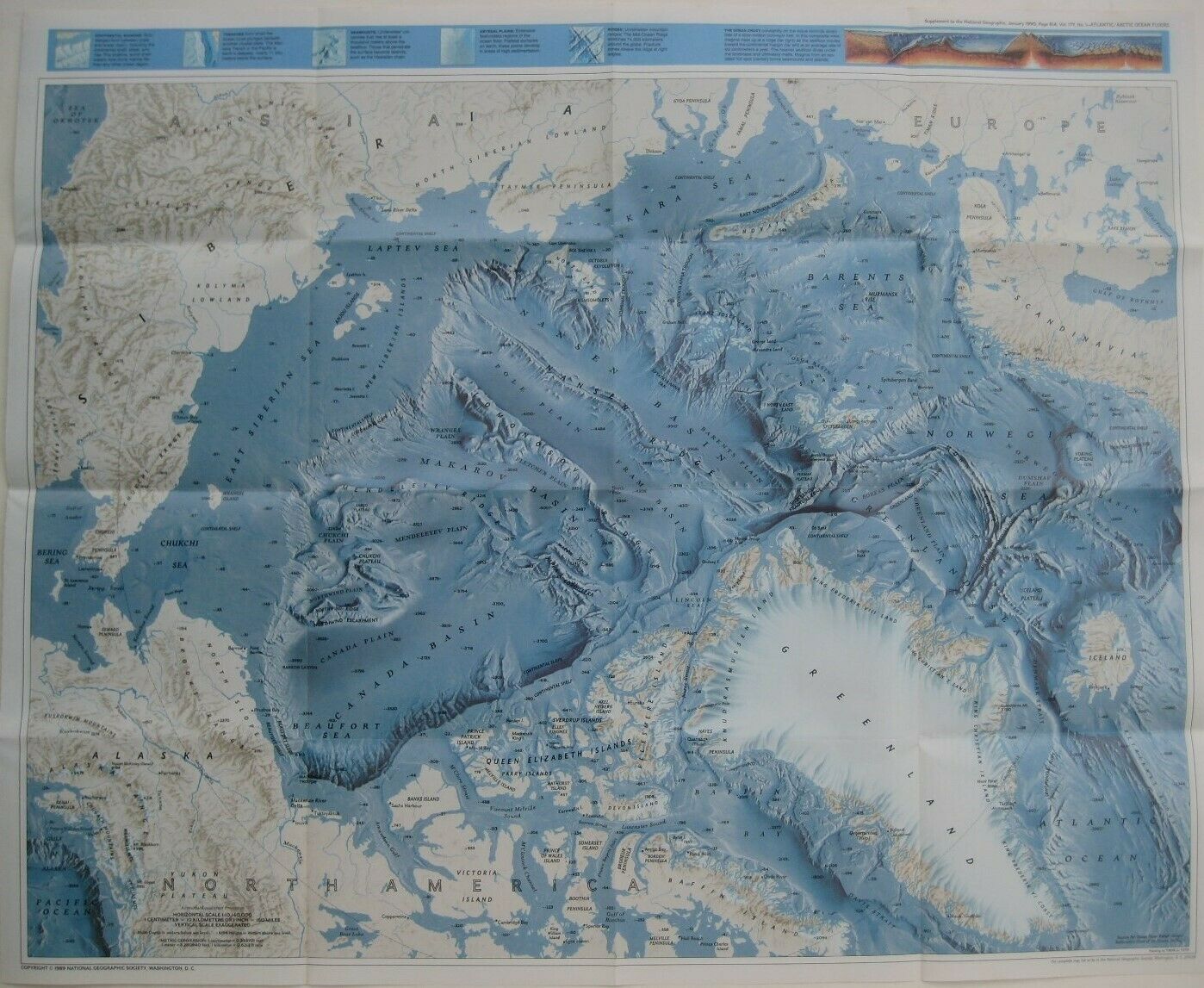
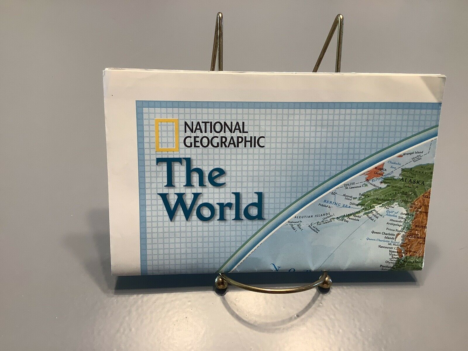
Two brightly colored fold-out relief maps depicting the floors of the Arctic and Atlantic Oceans.These maps are printed back-to-back on a sheet measuring 52 x 80 cm [20½" x 31½"].
The map of the Arctic Ocean Floor is drawn on a horizontal scale of 1:10,140,000 and was painted by Tibor G. Tóth.
The map of the Atlantic Ocean Floor is on the other side. It was painted by John A. Bonner and is drawn on a scale of 1:31,860,000 at the Equator.
Either side would make a handsome display, and we'll include our helpful tips on framing with your purchase.
These maps were published by the National Geographic Society and include illustrated text on underwater exploration and mapping of the seafloor.
Condition:
Very good, bright and clean, with
no
marks, rips, or tears. Please see the scans and feel free to ask any questions.
This is an
original
, National Geographic Society publication,
not
a reproduction or modern reprint, and it is fully guaranteed to be genuine.
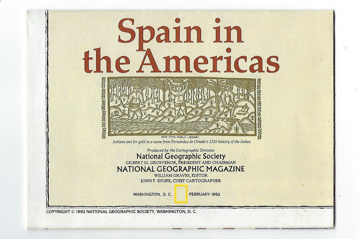
It was issued in January 1990 as a supplement to
The National Geographic Magazine,
and it folds to 6½" x 5¼".
Buy with confidence! We are always happy to combine shipping on the purchase of multiple items — just make sure to pay for everything at one time, not individually.
Powered by SixBit's eCommerce Solution
