-40%
VTG Full-Size Repro 1858 Map of PUEBLA STATE Mexico Antonio Garcia Cubas MOUNTED
$ 17.31
- Description
- Size Guide
Description
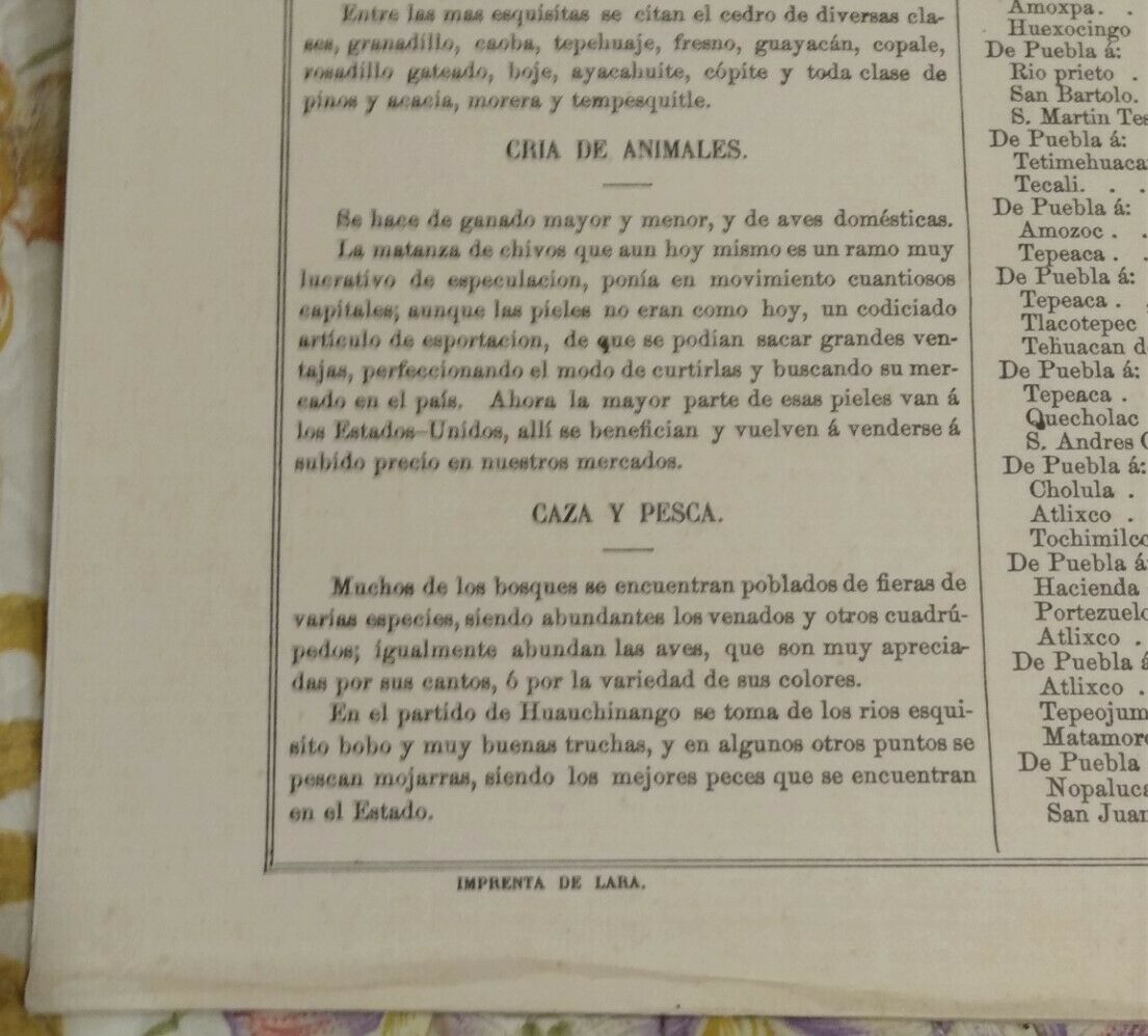
Beautiful, detailed map of Puebla state, originally published in 1858 by Antonio Garcia y Cubas; this is a reproduction published byMiguel Angel Porrúa of Mexico City; it matches the original dimensions of the 1858 atlas
. In very good condition with only minor issues, as follows:
lower-left corner bump (would be covered, most likely, when framed); faint toning along perimeter from earlier framing; two darker spots of toning along edge above word "PEUBLA"; and light blue mark extending up from top of map image (this could result from the image being hand-colored as part of reproduction process).
I tried to capture these issues in the photos; otherwise a nice, clean sheet.
From the Barry Lawrence Ruderman website: "
Garcia Cubas' map of Puebla is one of the earliest maps of the modern state of Puebla published in Mexico. The surrounding text includes a wealth of information regarding Puebla, including History, Climate, Agriculture, Minerals, Livestock, Commerce, Population, and Itineraries."
Please examine images for detail, as they are part of the description.
Will combine shipping for multiple purchases. Select USPS Media Mail or Retail Ground.
Thanks for looking!
Note for non-US buyers: I am not responsible for any customs duties or fees levied by your government.


